Technology-Driven Operations

Building Capable & Trusted Drone Networks

Neo Krishi Agri Technologies is a professional, technology-driven service company focused on deploying advanced UAV flight operations for precision agriculture and environmental management.

Founded with a deep understanding of real-world land management challenges, Neo Krishi bridges modern aerial technology with practical field execution. We deliver structured drone operations that help farmers, estate owners, and institutional bodies overcome labor constraints, challenging topographies, and resource inefficiencies.

Rather than offering generic tools, we build standardized, reliable aerial service workflows—from multi-spectral crop health diagnostics and precision canopy spraying to terrain mapping and aquatic ecosystem observation.

Our Ambition: "Building one of India's most capable and trusted drone service networks."
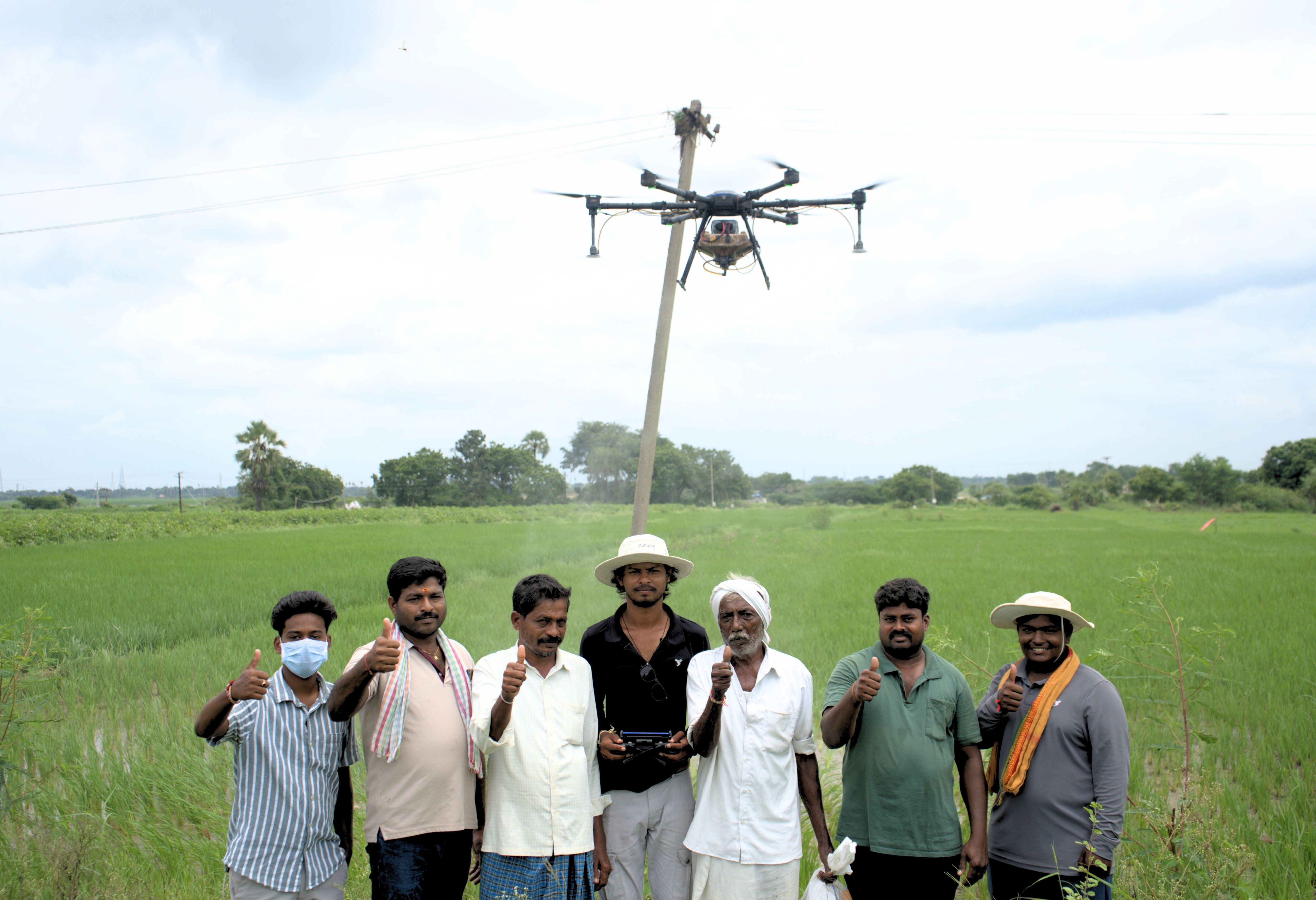
Neo Krishi Aerial Drone Operations
Strategic Direction

Our Purpose & Direction

Our Mission

To empower agricultural producers, estate managers, and environmental authorities with high-precision drone operations, data-driven aerial insights, and dependable field services that maximize operational efficiency, safety, and long-term productivity.

Our Vision

To establish a scalable, technology-backed service network across India that sets the operational benchmark for modern precision farming, aerial field intelligence, and responsible environmental land stewardship.

Core Operational Services

What We Do

Delivering end-to-end aerial solutions tailored to modern agricultural and environmental requirements.

Agricultural Spraying

Precision aerial spraying for crop protection and foliar nutrition, maximizing uniform coverage while reducing water usage and chemical waste.

Tea Estate Services

Slope-adaptive drone operations navigating steep plantation gradients to deliver targeted canopy misting on challenging terrains.

Crop Monitoring

High-resolution RGB and multispectral field scans identifying spatial vigor variations, stand density, and early stress vectors.

Water & Soil Intelligence

GPS-guided soil sampling grids and aerial observation of ponds, lakes, and drainage zones to assist ecosystem maintenance.

Infrastructure & Hardware

Our Technology Stack

Utilizing industrial multi-rotor UAV platforms, precision sensors, and digital telemetry workflows.

Multi-Rotor UAV Fleets

Industrial drone platforms featuring terrain-following radar and omnidirectional obstacle avoidance.

Multispectral Sensors

Calibrated optical payloads capturing reflectance data for relative vegetative health modeling.

Autonomous Flight Telemetry

Millimeter-precise GPS grid path planning ensuring repeatable field coverage and zero overlap gaps.

Digital Workflows

Integrated GIS data processing delivering actionable flight telemetry dossiers and field maps.

Standard Methodology

Our Operational Approach

Our standard 5-step operational workflow ensuring precision, safety, and operational excellence.

  1. 01

    ASSESS

    Understand the field, estate or water body.

  2. 02

    PLAN

    Develop an operation plan based on the site and requirement.

  3. 03

    DEPLOY

    Execute the planned drone operation using trained personnel.

  4. 04

    VERIFY

    Review operational coverage and collected information.

  5. 05

    REPORT

    Provide the customer with relevant service information and next steps.

Client Sectors

Who We Serve

Providing scalable drone operational services across diverse agricultural and land management sectors.

Cropland Farmers

Individual growers and farming cooperatives seeking rapid, automated crop protection without ground trampling.

Tea & Plantation Estates

Commercial estate managers requiring safe canopy misting across steep, high-altitude hill slopes.

Water Boards & Bodies

Municipalities and water authorities monitoring and managing aquatic weeds in reservoirs and public lakes.

Institutional & Research

Agricultural research stations requiring structured flight telemetry, GPS core sampling, and repeatable spatial data.

Operational Standards

Our Commitment to Responsible Operations

At Neo Krishi, operational excellence goes hand-in-hand with safety, regulatory compliance, and environmental responsibility.

  • Certified Flight Personnel: All missions are executed by trained drone pilots operating strictly under established safety protocols.
  • Environmental Compliance: Herbicide, nutrient, and water treatments adhere strictly to environmental guidelines to protect surrounding ecosystems.
  • Ground Verification Support: Aerial data is designed to complement—not replace—expert ground checks and physical agronomist validation.
Core Operational Pillars

Why Neo Krishi

Our core operational pillars driving precision agricultural services and aerial field solutions.

PRECISION

Technology-assisted planning and targeted operations.

EFFICIENCY

Designed to improve operational coverage and workflow efficiency.

SAFETY

Reduce unnecessary human exposure to difficult operating environments where appropriate.

TECHNOLOGY

Use drones, aerial data and digital workflows.

SCALABILITY

Build a service network capable of supporting farms, estates, institutions and larger operations.

Connect with Neo Krishi

Partner with us to bring precision aerial drone operations to your farm, plantation, or water body.